BKK - Centre for Budapest Transport – has made a lot of efforts in renewing its public address system. It has finally launched an online journey planner application - called FUTÁR -, available for smartphones and tablets as well, that uses real-time information based on satellite tracking system.
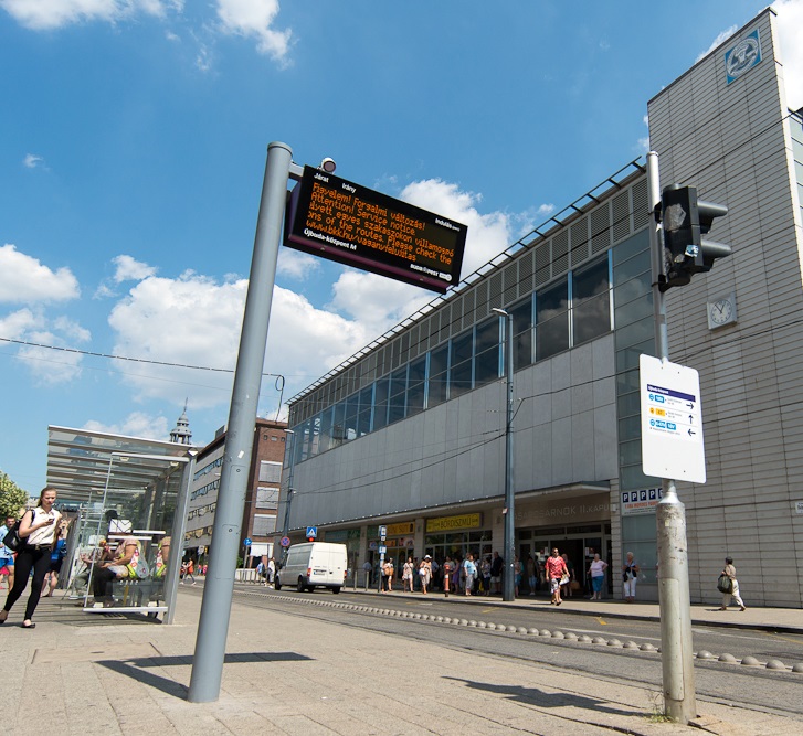
photo:www.bkk.hu
BKK has lately installed 263 new displays in bus stops across the city, that give real-time information about the lines operating, displaying the estimated times of vehicles arriving at the stop. These are only the most spectacular parts of FUTÁR (the new traffic management and passenger information system), the new system, which operates on most of the buses, trams, and trolleys. It is based on satellite vehicle tracking. Thanks to the on-board computers, BKK has incorporated into 1597 buses, 551 trams and 141 trolley buses, FUTÁR is now available to tell the exact location of particular lines and vehicles, in real-time, making traffic management and information giving easier and more exact than ever before. Combining this information with news about traffic, line replacing buses can be sent to the place where they are needed quicker, and users of the app created using FUTÁR can plan their trips avoiding problematic areas.
How BKK FUTÁR works
To try BKK’s application, visit http://futar.bkk.hu/ or download the app for your smartphone or tablet. It is available in all application stores for free, and – although yet working only in test drive – can be used with Android, iOS and Windows Phone.
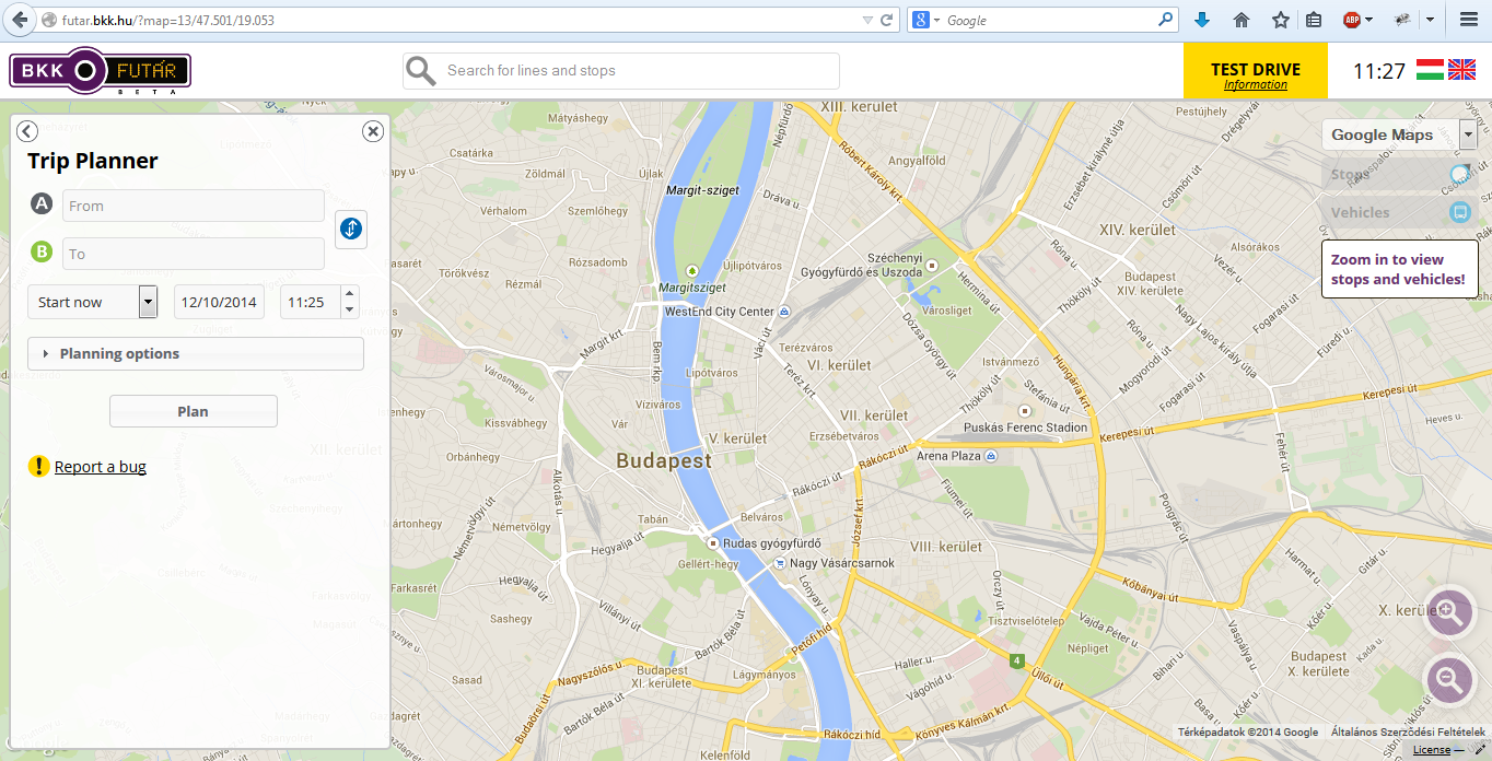
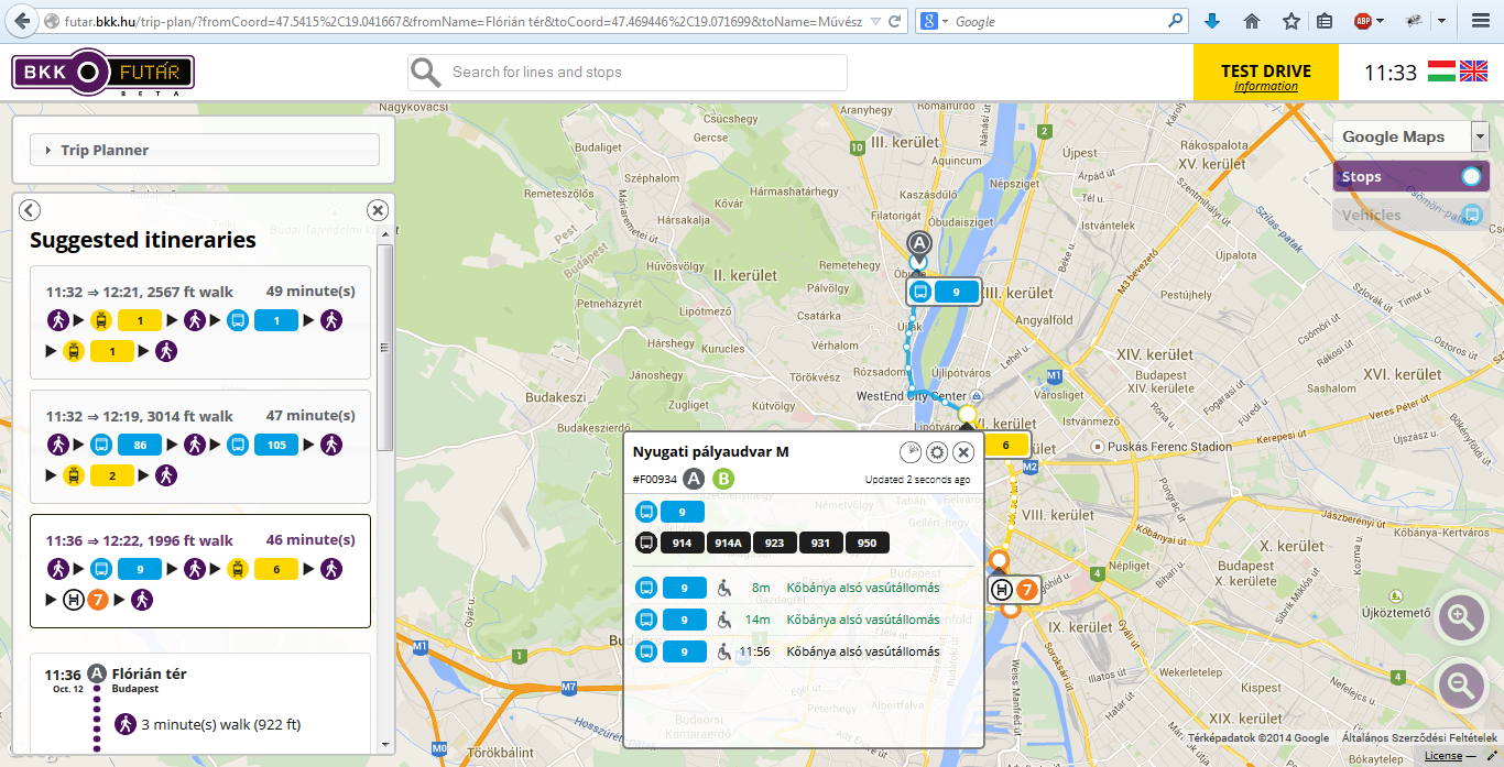
The landingpage is a map, which you can zoom in or out, and you can already see which lines are available at particular transport hubs, and where exactly the stops are located. Only by bringing your mouse above the circles, you can see when the next vehicle arrives at the stop, and whether it is wheelchair accessible. The system refreshes the data real-time, so you can plan exactly which line to use.
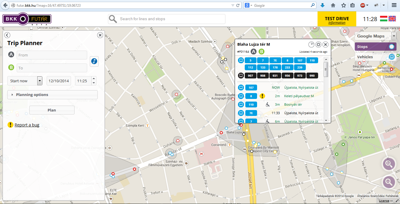
FUTÁR also offers planning your trip. Using your mobile’s location, you can plan from the exact point you are standing, or type in a different addresse. As in a GPS system, in the ‘planning options’ menu, you can choose which type of vehicles you’d like to use and how exactly you need the system to plan for you (Fastest route/Least transfer/Least walking). You can click or tap on a line and see its full timetable and rout on the map. When a trip is planned, you can watch it on the map, see the timing, and the time of departure by every vehicle. It is easy to use and logical.
The application already monitors bus, tram, trolley and even boat lines, and by 2015, BKK said that the subway and suburban railway systems would be integrated too. If you don’t want to get lost, give BKK FUTÁR a try – or get lost in the city calmly, because now you have the app that could help you real-time.